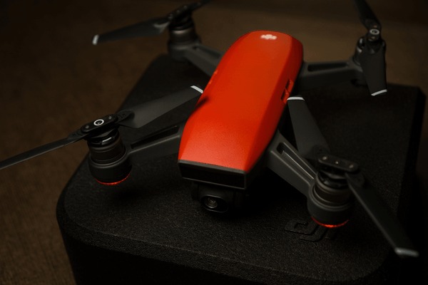
DJI gps drone for real estate with gps
These cases illustrate how DJI drones translate technical capabilities into tangible societal benefi
Explore our comprehensive collection of Hubsan battery solutions and resources.

These cases illustrate how DJI drones translate technical capabilities into tangible societal benefi
Agras Series – Agricultural drones designed for crop spraying, field monitoring, and precision agric

This essay explores DJI’s engineering drone products in depth. It examines the technology behind the

Public safety and surveillance applications raise questions about privacy. Critics worry about misus

Workforce displacement: automation reduces demand for manual surveyors.

As drones transmit sensitive data, cybersecurity becomes critical. DJI has faced scrutiny in some ma

Unmanned aerial vehicles (UAVs), commonly known as drones, have evolved from niche military tools in

Massive payload capacity for liquids and solids.

Zenmuse P1: Designed for photogrammetry with a full-frame sensor.

In the energy industry, drones enable cost-effective and safe inspection of assets such as wind turb

Traditionally, land surveying required manual measurements, total stations, and significant manpower

While more affordable than traditional methods, advanced engineering drones like the Matrice 300 RTK